MUNICIPAL FINANCE
Explore municipal financial data using the
SANEF Data Dashboard
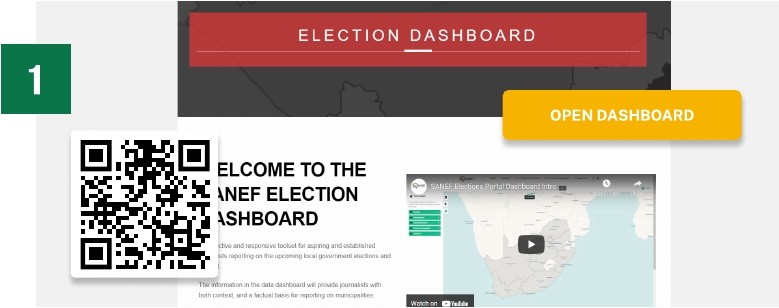
Visit the SANEF Election Dashboard and discover municipal finance data
The Election Dashboard is available at elections.sanef.org.za/dashboard. The landing page contains a brief video introduction to the dashboard.
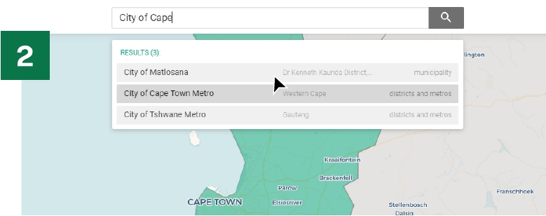
Select or search for a particular
municipality you are interested in
By selecting a particular municipality, you are able to select a financial performance indicator in the menu bar.
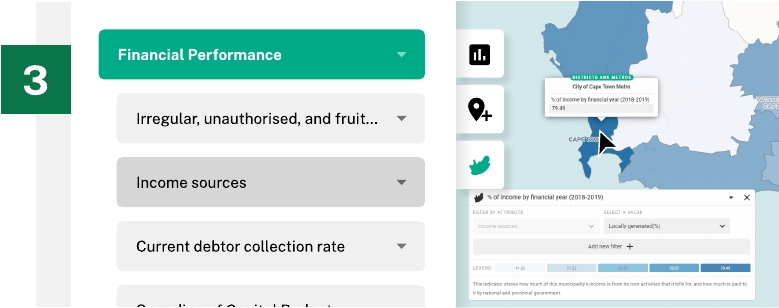
The dashboard allows you to select a number of municipal financial datasets. These include, among others) irregular, unauthorised, fruitless and wasteful expenditure as well as information on how a municipality generates its income.
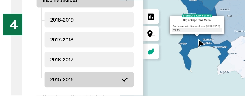
Explore the data by financial year dating back to 2015
To give better historical context regarding the performance of a municipality, you are able to see change over a period of time, by the financial year on a particular financial performance dataset. You are able to answer the simple question, “has this municipality improved, or regressed over time?”
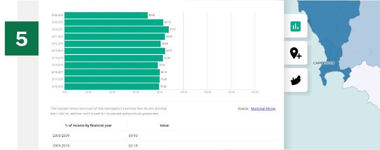
Selecting the rich data view
The rich data view provides you with another opportunity to slice the data by available variables.
It gives deeper context to the financial situation of a municipality, e.g. being able to see how much of the budget was spent on fruitless and wasteful
expenditure for a particular financial year.
The tools you need
Use the provided tools to answer questions and provide context about an area.

